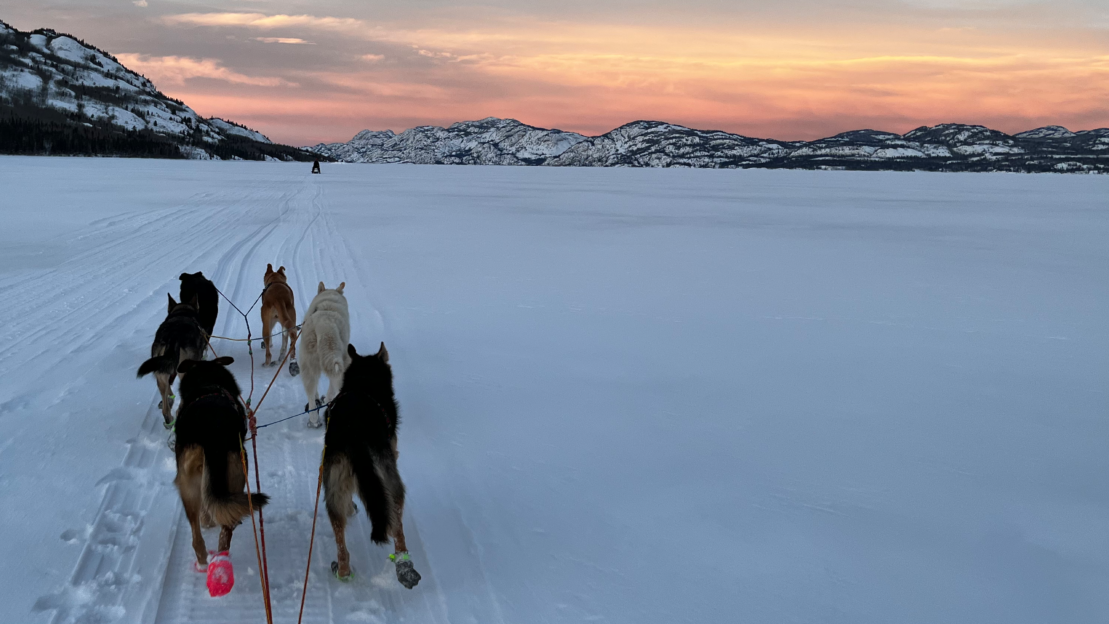
We got under 1/2″ last week, but otherwise have had nothing more than a dusting of snow for (literally) months. Although measured snowfall is something like 20″ since September, some has melted and it’s all packed down. Combined with more sunlight and some temps in the 20s, and we’re seeing only 2-3 inches on the ground, and many bare patches. We could really use some snow, but February and March are typically light snow months. It’s times like these when it’s abundantly clear that interior Alaska is, overall, a dry place.
Here is yesterday’s special weather statement from the National Weather Service Fairbanks forecast office:
NOAK49 PAFG 132115

PNSAFG*AKZ222-140915-*

PUBLIC INFORMATION STATEMENT

NATIONAL WEATHER SERVICE FAIRBANKS AK

1215 PM AKST SAT FEB 13 2010

*...THE SNOW DROUGHT AT FAIRBANKS CONTINUES...*
SO FAR THIS WINTER ONLY 21 INCHES OF SNOW HAS BEEN OBSERVED AT THE
FAIRBANKS INTERNATIONAL AIRPORT. THIS IS ONLY 37 PERCENT OF NORMAL...
AND IS THE LEAST AMOUNT OF SNOW OBSERVED SO LATE INTO THE WINTER
SEASON SINCE THE WINTER OF 1969-1970. THIS WINTER NOW RANKS IN 3RD
PLACE WITH THE LEAST AMOUNT OF SNOW SINCE 1950.
THE OUTLOOK FOR THE NEXT WEEK DOES NOT LOOK PROMISING FOR ANY
ADDITIONAL SIGNIFICANT SNOWFALL. A CHINOOK PATTERN WILL DEVELOP AT
THE END OF THE WEEKEND INTO EARLY NEXT WEEK. LONG RANGE
INDICATIONS ARE THAT A LARGE RIDGE OF HIGH PRESSURE ALOFT WILL
BUILD INTO THE AREA LATE NEXT WEEK INTO NEXT WEEKEND. NEITHER OF
THESE WEATHER PATTERNS IS FAVORABLE FOR SNOWFALL IN THE FAIRBANKS
AREA.